DU MOYEN-ÂGE À NOS JOURS (BLA2)
Foot
in Blanzy
11.3
km
Foot
2h 50min
Medium
-
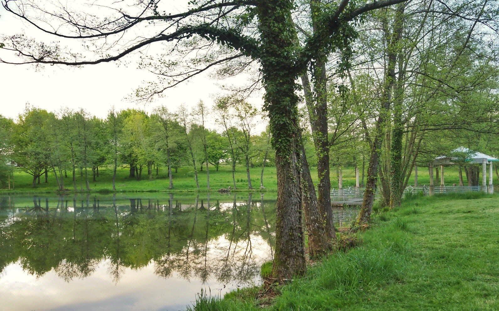
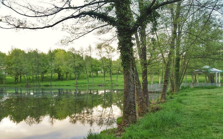
Not to be missed: along the way, you will fall under the spell of the Mirauds site and its pond, a true green lung of the city.
-
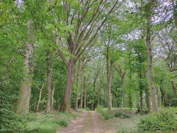
In the heart of Burgundy, Blanzy, crossed by the Bourbince and the Canal du Centre, offers visitors the charm of its countryside, but also the testimony of its activity from yesterday to today. This walk, both urban and rural, highlights the recent development of the commune, but also its history by passing through the place called Ocle, one of the lordships that controlled the passage of the Bourbince in the Middle Ages.
- Departure
- Blanzy
-
-
Difference in height
- 200.88 m
-
-
-
-
-
Documentation
- GPX / KML files allow you to export the trail of your hike to your GPS (or other navigation tool)
-

- Points of interest
1
2
- 201 meters of difference in height
-
- Start altitude : 285 m
- End altitude : 285 m
- Maximum altitude : 359 m
- Minimum altitude : 283 m
- Total positive elevation : 201 m
- Total negative elevation : -201 m
- Max positive elevation : 24 m
- Min positive elevation : -26 m