ENTRE ÉTANGS ET FORÊTS (CHA1 & CHA2)


                    Foot                    
                
                                                    in Charmoy
                            
            9.3
                        km
                    
                Foot
                2h 30min
                Medium
                - 
                    
CHA1: 5.6 km return walk which connects CHA2 and Montcenis.
 - 
                                        
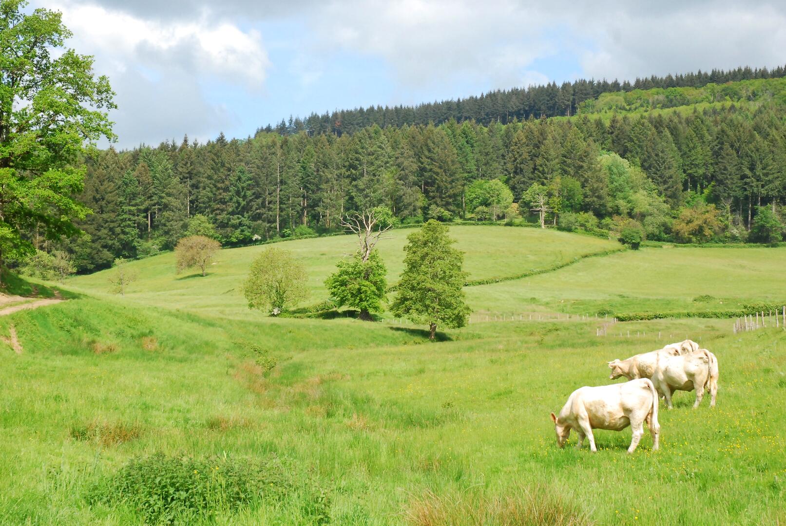
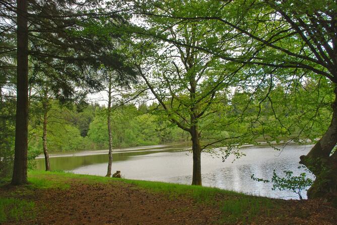
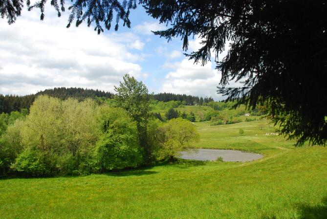
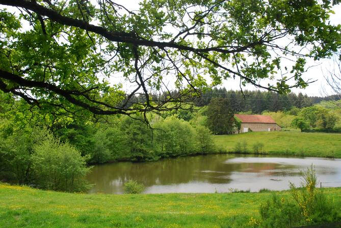
                                            The Charmoy 2 circuit, straddling the towns of Uchon and Charmoy, takes us through the woods and offers us pretty panoramas, notably over the Prieuré pond and the bocage landscapes, symbols of the Saône-et-Loire.
 
- Departure
 - Charmoy
 
- 
    
- 
                                Difference in height
 - 341.74 m
 
 - 
                                
 - 
    
 - 
    
- 
                                Documentation
 - GPX / KML files allow you to export the trail of your hike to your GPS (or other navigation tool)
 
 - 
                                
 
- Points of interest
 
- 342 meters of difference in height
 - 
                
- Start altitude : 427 m
 - End altitude : 426 m
 - Maximum altitude : 659 m
 - Minimum altitude : 396 m
 
- Total positive elevation : 342 m
 - Total negative elevation : -343 m
 - Max positive elevation : 62 m
 - Min positive elevation : -149 m


                                        