NATURE ET PATRIMOINE (SSB1)
Foot
in Saint-Sernin-du-Bois
6.0
km
Foot
2h
Easy
-
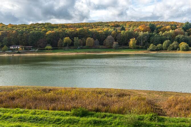
Do not miss: the wetland of the marsh of Fontaine Sainte allows you to observe many species of plants from its pontoon.
-
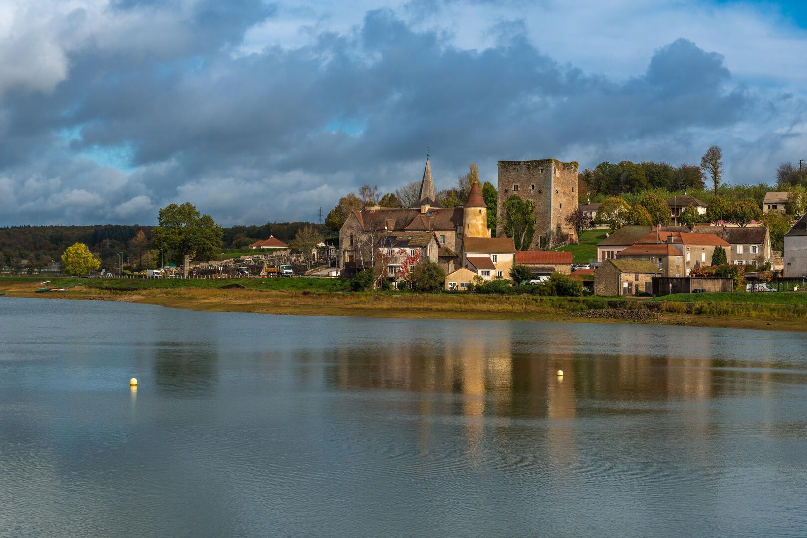
Saint-Sernin-du-Bois, listed as a Town of Character in Burgundy-Franche-Comté, bears witness to several centuries of history: remains of the Roman road from Autun to Mâcon, an 11th-century priory, a 14th-century keep, and an early 20th-century dam. This "Nature and Heritage" walk focuses on panoramas and observation, offering ecological and architectural diversity.
- Departure
- Saint-Sernin-du-Bois
-
-
Difference in height
- 110.19 m
-
-
-
-
-
Documentation
- GPX / KML files allow you to export the trail of your hike to your GPS (or other navigation tool)
-

- Points of interest
1
2
3

4

- 110 meters of difference in height
-
- Start altitude : 452 m
- End altitude : 452 m
- Maximum altitude : 492 m
- Minimum altitude : 430 m
- Total positive elevation : 110 m
- Total negative elevation : -110 m
- Max positive elevation : 16 m
- Min positive elevation : -15 m