SUR LES HAUTEURS DU RANÇON (MAR2)
Foot
in Marmagne
12.4
km
Foot
3h 30min
Medium
-
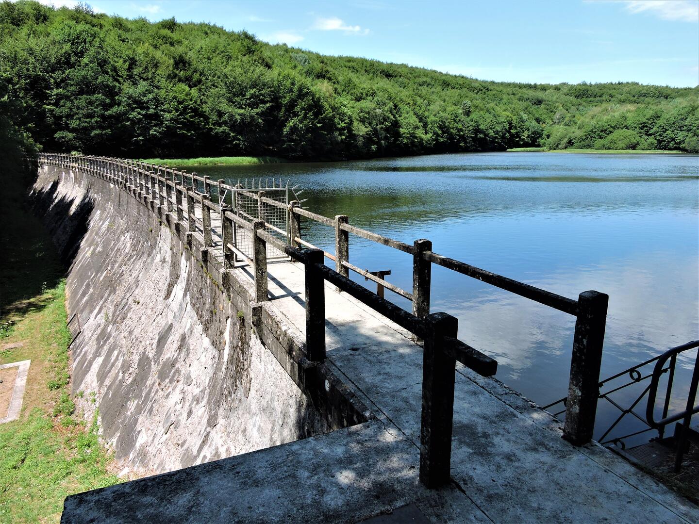
Do not miss: a small detour of 30 minutes allows you to discover the Haut-Rançon dam.
-
The village of Marmagne, crossed by the Mesvrin river, is located 6 km from Le Creusot. This walk allows you to follow the traces of the delivery of water to the city and the Creusot factory at the time of the Schneider dynasty.
- Departure
- Marmagne
-
-
Difference in height
- 329.06 m
-
-
-
-
-
Documentation
- GPX / KML files allow you to export the trail of your hike to your GPS (or other navigation tool)
-

- Points of interest
1

2

3

4

- 329 meters of difference in height
-
- Start altitude : 320 m
- End altitude : 321 m
- Maximum altitude : 563 m
- Minimum altitude : 320 m
- Total positive elevation : 329 m
- Total negative elevation : -328 m
- Max positive elevation : 84 m
- Min positive elevation : -66 m